On this page
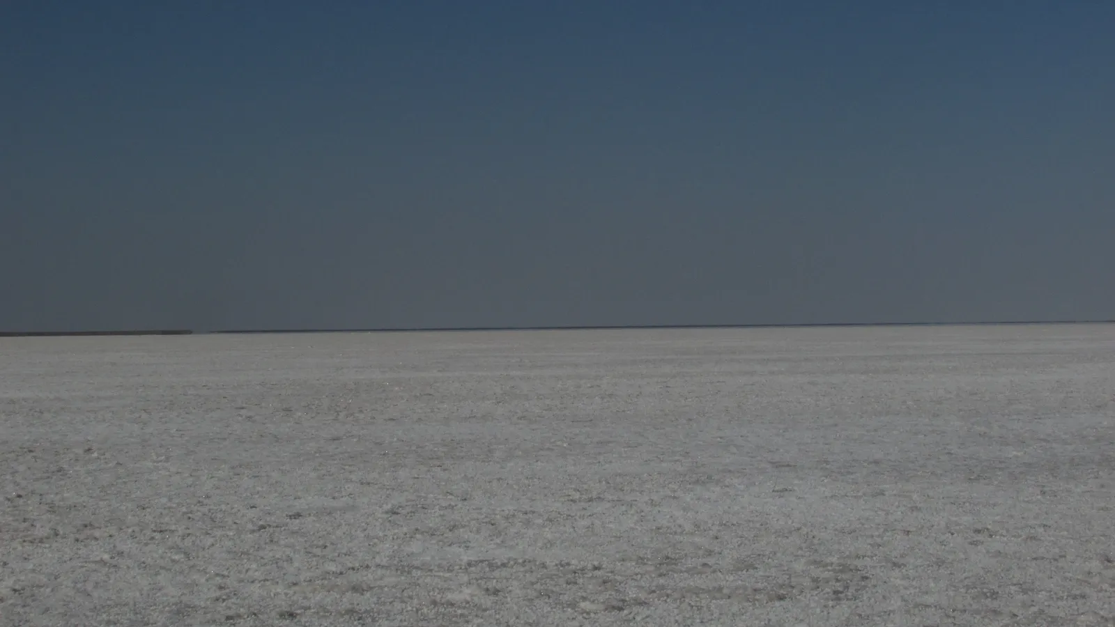
The white desert of Kutch was sea not long ago, it still floods every year, and its ground is still moving. Three processes explain it: rivers filling a gulf, evaporation leaving salt, and earthquakes lifting the land.
How was the Rann of Kutch formed?
The Great Rann of Kutch is "an infilled gulf of the Arabian Sea", according to a 2017 study in Scientific Reports by Khonde and colleagues, who drilled a sediment core at Dhordo in the Great Rann.
Rivers carried mud into it after the last ice age. The team's isotope data point to the Indus and the Thar Desert as the main sediment sources, and Indus sediment sped up the infilling after about 6,000 years ago, when the Indus delta started to grow. The basin finished filling only a few centuries ago.
The ground has also been rising. The same paper notes that the region is "largely compressional" and that about 5 m of uplift is recorded for marine sediments on Khadir Island in the last 500 years. Kutch sits in an old rift that is now being squeezed, as the US Geological Survey explains.
Why does the Rann flood every monsoon?
Khonde and colleagues write that the Great Rann is largely dried up from about March to July and flooded from July to February. Strong summer monsoon winds push seawater in from the Arabian Sea, and the water usually does not drain or evaporate until the next summer (Khonde et al., 2017).
How does a salt crust form by evaporation?
When salty water evaporates, only the water leaves; the dissolved ions stay behind. As the water shrinks, the brine gets more concentrated until it is saturated, and then salt starts to crystallise. The US Geological Survey saw this on the Banni Plain beside the Great Rann, where salty water had erupted from the ground during the 2001 earthquake: "As the salty water dries, a white salty crust is left behind."
A quick estimate:
Average seawater is about 35 parts per thousand salt by weight, and sodium and chloride make up around 85 percent of the dissolved ions (NOAA).
Picture one square metre of the Rann under a 10 cm sheet of seawater. That is 0.1 cubic metres, or about 100 litres, which weighs roughly 100 kg.
100 kg × 35/1000 = about 3.5 kg of dissolved salts.
Evaporate all of the water and those 3.5 kg stay on that one square metre, mostly as sodium chloride.
The 10 cm depth is our assumption, not a measurement, but the method works for any depth.
People in the Little Rann do the same thing on purpose. The Agariya salt workers pump brine from underground wells and spread it on large prepared pans, and "evaporation leaves behind white crystals of salt"; they produce 30 percent of India's inland salt, Mongabay India reported. For the lab version, see why crystallisation beats evaporation for purifying a salt.
What did the 2001 Bhuj earthquake do to the Rann?
On 26 January 2001 a magnitude 7.7 earthquake struck Kutch (USGS); the two studies below give its moment magnitude as 7.6.
It lifted the ground. Levelling surveys before and after the quake found a maximum uplift of 1.57 ± 0.5 m near Manfara, close to the epicentre, according to a 2004 paper in Geophysical Research Letters by Chandrasekhar and colleagues.
The uplift changed where the Rann floods. Comparing satellite images from before the quake with images taken after the 2001 and 2002 monsoons, Gahalaut and Bürgmann found that the southern limit of the flooded Rann moved about 10 km north (Bulletin of the Seismological Society of America, 2004). The highest uplift, about 15 km north of the epicentre, acted as a barrier to rainwater draining north.
An earthquake of similar magnitude in 1819 produced a 90-km-long fold now called the Allah Bund (Chandrasekhar et al., 2004). Kutch is far from a plate edge; compare why the Andaman Islands have earthquakes, or learn to find an earthquake's distance from the P and S wave gap.
How do you explain the Rann in an exam answer?
If a question asks how the Rann of Kutch formed, a five-mark answer can follow four steps:
Origin: a shallow gulf of the Arabian Sea.
Filling: rivers, mainly the Indus, filled it with sediment; filling ended a few centuries ago.
Uplift: compression in the Kutch rift raises the land, slowly over centuries and suddenly in big earthquakes (1819, 2001).
Salt: monsoon floods bring seawater; evaporation leaves a salt crust each dry season.
Add a number per step and sketch the flood, evaporation and crust cycle. If saturation and crystallisation are shaky, the Fermi Concept Library has a lesson for each idea in chemistry and its place in the map. For more practice with numericals like this one, the Fermi Problem Library has worked problems with a step-by-step solver that explains the reasoning rather than printing an answer.