
On this page
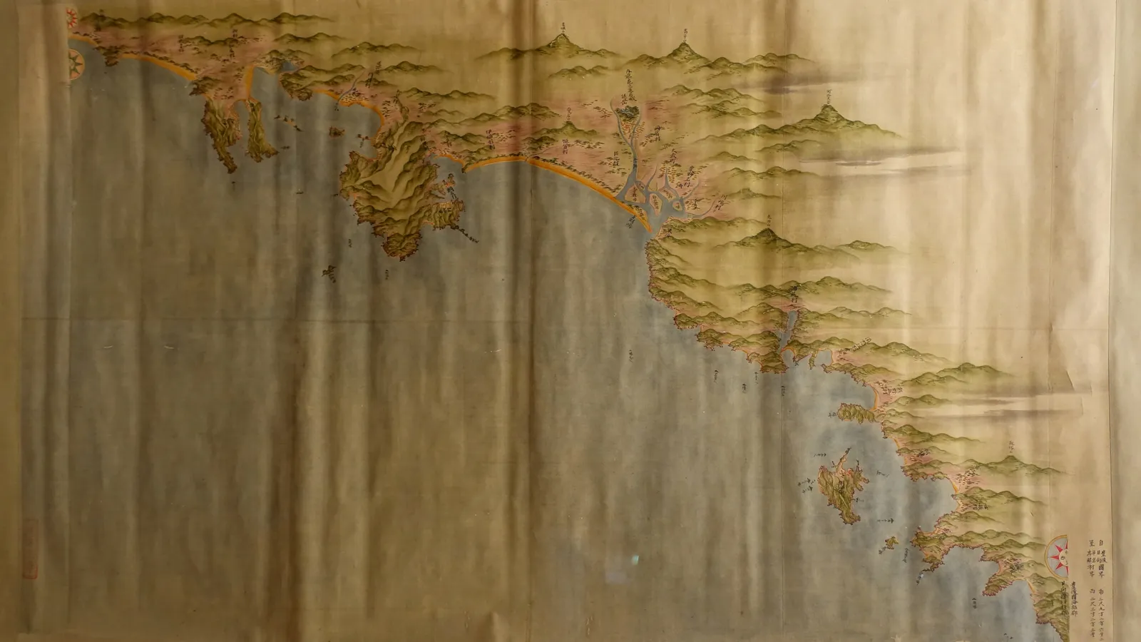
In 1800, at the age of 55, Inō Tadataka set off for Ezo (today's Hokkaido) with a small team, a quadrant and a stride he had trained to stay the same length. According to a profile on nippon.com, he went on to spend 17 years surveying Japan. The maps his team finished in 1821 remained the definitive maps of Japan for nearly a century.
Who was Inō Tadataka, and why did he start so late?
Inō was born in 1745 and married into the Inō family at 17, according to nippon.com. At 49 he stepped down as head of the family and moved to Edo (now Tokyo). There he studied astronomy under the official astronomer Takahashi Yoshitoki. The Dictionary of Scientific Biography entry on Inō notes that his formal scientific studies began only at the age of fifty.
His first goal was not a national map. He wanted to know how long one degree of latitude is on the ground. By his second expedition he had his answer: 28.2 ri, or 110.75 kilometres, as nippon.com reports. He was not the first to try. In France, Jean Picard measured a meridian arc in 1669 and 1670.
How did Inō Tadataka survey Japan?
The work split into a day shift and a night shift. The Dictionary of Scientific Biography describes it like this:
By day, the team measured distances by counting steps (sometimes with a pedometer) and took bearings of distant mountains.
By night, they used a quadrant to measure how high a fixed star stood as it crossed the meridian, which gives your latitude.
The method was the old traverse: a chain of measured lines, one bend after another. He did not use triangulation.
Inō's own stride was 69 cm, and he walked to keep it steady, according to Serai magazine. The Wikipedia article on Inō gives the scale of the work: ten expeditions, a reported 3,736 days of measuring and 34,913 kilometres travelled. The Dictionary entry says he made over 2,000 measurements of latitude.
How accurate was Inō's map of Japan?
In the north–south direction, very accurate. One degree of latitude measures 110.852 km at 30° N and 111.132 km at 45° N on the modern WGS84 model of the Earth, according to Wikipedia's latitude article. Japan's four main islands lie roughly between those latitudes, so Inō's 110.75 km was within about 0.1 to 0.4 per cent.
East–west was weaker. Inō tried to fix longitude from eclipses but had to fall back on distances measured along the ground. The Dictionary of Scientific Biography says this affected the accuracy of his maps, especially Hokkaido, which had a systematic error. Inō died in 1818. His team completed the maps in 1821, as the National Diet Library gallery records. The set ran to 214 sheets at 1:36,000, 8 sheets at 1:216,000 and 3 at 1:432,000, according to Wikipedia.
Try it: pace a distance the way Inō did
You need a measuring tape, a school ground and a notebook. Inō's figures below come from Serai and Wikipedia.
Mark out 50 m and walk it normally three times, counting steps. Say you get 72, 73 and 72.
Average: 217 ÷ 3 = 72.3 steps. Your step is 50 ÷ 72.3 = 0.69 m, the same as Inō's.
Walk to the gate and count 900 steps. Distance: 900 × 0.69 = 621 m.
Draw it at Inō's most detailed scale of 1:36,000. 621 m ÷ 36,000 = 1.7 cm on paper. If scale sums trip you up, here is how to solve map scale problems.
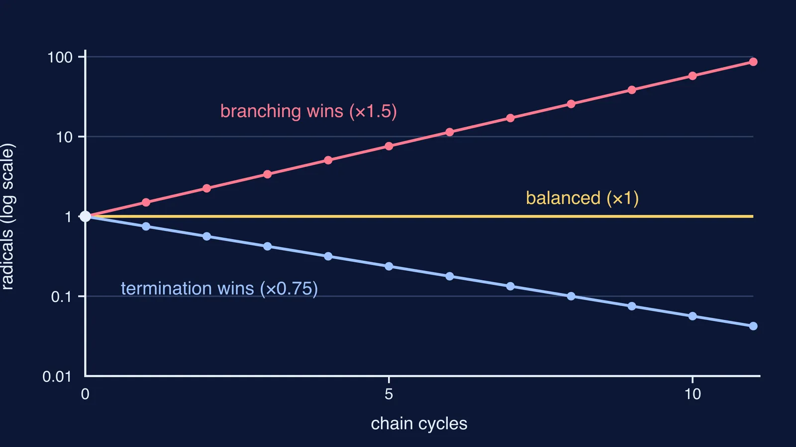
Now test for drift. If your real step is 0.70 m, each step is 1 cm out, so 900 steps put you 9 m off. Over 34,913 km, even a steady 1 per cent error would add up to about 349 km. That is why star sightings of latitude were such a useful check on the counting.
What can a late starter learn from Inō Tadataka?
His method works as a study plan, whether you are 16 and restarting Class 11 maths or a parent learning something new.
Fix your step. Pick a small daily unit you can repeat: 20 problems, one chapter section.
Take bearings. Before each session, write down which topic you are heading towards.
Check against the stars. Every week or two, test yourself against an outside standard, such as a timed past paper.
Use cross-bearings. Solve an important problem two ways. If both lines meet, you can trust the point.
If you are restarting a subject and don't know where to begin, Fermi's AI tutor can work out what you already know and build a plan for the session. If latitude or angles still feel shaky, the Fermi Concept Library has a lesson for each concept in physics and mathematics.
Mapmaking has moved on to satellites, but it still rests on careful measurement. If the story pulls you in, read about a career in cartography and GIS.