
On this page
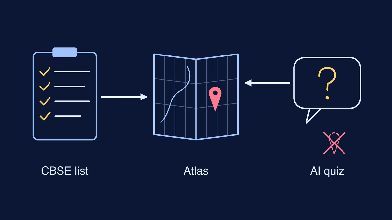
It is the night before your Social Science exam and you ask a chatbot, "Where is Hirakud dam on the map of India?" It answers in a confident paragraph. The trouble is that a confident paragraph is not a location, and in map work a dot in the wrong place will not earn the mark. Here is why chatbots are shaky at placing smaller places, and a plan that uses the official CBSE list and an atlas, with AI kept to one job: quizzing you.
Can AI tell you the correct places for map work?
Not reliably. Unless it is connected to a map tool, a chatbot does not look at a map when it answers; it produces likely-sounding text from what it absorbed in training, and its knowledge is thinnest for smaller places.
In GPT4GEO, a study of GPT-4's geography without internet access, location accuracy clearly fell as settlements got smaller, with the worst guess off by 4,000 km. When the same team gave GPT-4 coordinates and asked for place names, it named the wrong settlement in most cases. Asked for the outlines of countries, rivers and lakes, it produced shapes that were near the right area but frequently the wrong shape.
A larger benchmark, MapEval, tested 30 AI models on 700 map-based reasoning questions across 180 cities. No model passed 67% accuracy, and all of them trailed human performance by more than 20%, with distances and directions among their weak spots.
Neither study tested Indian dams or ports. But a dam or a mid-sized port is a less-written-about place, the kind where GPT4GEO saw errors grow. And the chatbot sounds just as sure when it is wrong, which we unpack in why AI sounds confident when it is wrong.
What does the CBSE map list for Class 10 include?
The CBSE Class 10 Social Science curriculum for 2026-27 gives map pointing 5 of the paper's 80 marks: 2 in History and 3 in Geography. It also prints the exact list of places to locate, label or identify. A few examples:
History: the Congress sessions at Calcutta (1920), Nagpur (1920) and Madras (1927); the Kheda, Champaran and Ahmedabad mill workers' satyagrahas; Jallianwala Bagh; the Dandi March.
Dams: Salal, Bhakra Nangal, Tehri, Rana Pratap Sagar, Sardar Sarovar, Hirakud, Nagarjuna Sagar and Tungabhadra.
Major sea ports: Kandla, Mumbai, Marmagao, New Mangalore, Kochi, Tuticorin, Chennai, Visakhapatnam, Paradip and Haldia.
Also on the list: soil types, crop areas, mines, oil fields, power plants, industry locations and six international airports.
The same document notes that maps available on the Government of India's website may be used. That is your standard, not a chatbot's description. For how these marks are won and lost on the day, see our guide to geography map work for the board exam.
How do you learn map locations from an atlas?
Here is a worked example with the eight dams.
Print or copy the dam list from the CBSE curriculum. Do not let anyone, human or AI, add or drop names.
Open your NCERT Contemporary India-II chapter on water resources and note any river or state it mentions for each dam.
Find each river in your school atlas, follow it to the dam, and note one anchor: the state, a coastline, or a nearby city you already know.
Mark all eight on a blank outline map of India in pencil, from memory. Then check each dot against the atlas and correct it in pen.
Two days later, use a fresh outline map and repeat step 4. Only the dots you got wrong need more work.
Repeat the same steps for ports (group them as west coast and east coast) and for the history sites.
How should you use AI for map work instead?
Use it as a quizmaster, never as the answer key. Testing yourself works: in a classic study by Roediger and Karpicke, students who took recall tests remembered more after two days and a week than students who simply restudied, even though restudying made students more confident.
Paste your CBSE list and try this script:
"Here is my CBSE map list. Quiz me one item at a time. Ask me only which state it is in, which coast or river it is near, and which chapter it comes from. Do not tell me the answer. I will check every answer in my atlas myself."
Then point to each place on your paper map and check it in the atlas, not in the chat. If the AI's question itself contains a wrong fact, the atlas catches it. For more ways to make AI test you on labels, read diagram labelling practice with AI.
Fermi's AI tutor works on the same idea of teaching rather than handing over answers in STEM subjects: it decides whether to explain, ask or show, and checks understanding as it goes.
Tonight, print the list, open the atlas, and mark the first eight dams in pencil.