On this page
Reading a map asks a child to picture a place from above, shrink real distances to a scale, and track directions when the paper and the street don't line up. Each can be practised with paper, a pencil and a walk.
Why does map reading matter for maths and science?
Map reading draws on spatial thinking: picturing where things are and how they relate. A 2013 meta-analysis in Psychological Bulletin by David Uttal and colleagues looked at 217 studies of spatial training. Training improved spatial skills compared with control groups, with an average effect size (Hedges's g) of 0.47. The gains held up when people were tested after a delay, and they carried over to other spatial tasks that were not trained. The authors open by noting that good spatial skills strongly predict achievement in science, technology, engineering and mathematics.
An earlier paper by Jonathan Wai, David Lubinski and Camilla Benbow tracked about 400,000 US high-school students for 11 years. It found that spatial ability measured in adolescence stood out among those who went on to STEM degrees and careers. Neither study tested map reading on its own, but maps are one everyday way to practise spatial thinking. We have covered the training research in more detail in what a meta-analysis says about improving spatial skills.
At what age can children start reading maps?
In a study in Developmental Science, Anna Shusterman, Sang Ah Lee and Elizabeth Spelke found that 4-year-olds used distance and angle in simple maps to pick which of three containers a map pointed to, with no instruction on how to use the map. When no landmark marked the target, they chose the right container 53% of the time, well above the 33% you would get by guessing.
The harder parts come later. Roger Downs and Lynn Liben studied map understanding in 3- to 8-year-olds using tasks on overhead views and on how directions match up between a map and the place it shows. All of these tasks require an appreciation of point of view, so build up slowly.
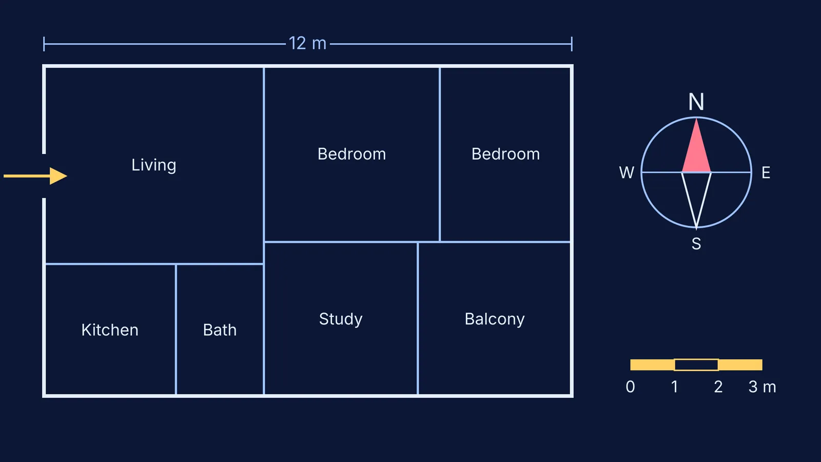
How do you draw a map of your home with your child?
Start at home, a place your child already knows. Here is a worked example for an 8-year-old.
Measure with feet. Your child walks heel to toe along the longest wall of the living room and counts. Say it comes to 20 of their feet.
Find a real length. Measure one of their feet with a ruler. If it is 20 cm, the wall is 20 × 20 = 400 cm, or 4 metres.
Choose a scale. On squared paper, decide that one square stands for half a metre. The 4 m wall becomes 8 squares.
Draw room by room. Measure and draw each room the same way, keeping walls that touch lined up.
Add a north arrow. Notice which side of your home the morning sun comes from; that side is roughly east. Mark N on the map so it points the right way.
Check. Ask: which room is biggest on the map? Is it biggest in real life too?
For younger children, skip the numbers. Draw one room together, hide a toy, and mark it with an X. Then swap roles. If you want to add more number talk to everyday life, see our guide to maths talk with young children.
How do you use scale and directions on a walk?
Once the home map works, take the idea outside. Before a walk to the market, ask your child to pace the length of your building and work out roughly how far one step goes. On the way, give directions in turns and landmarks: "Left at the temple, then straight until the vegetable stall." On the way back, let your child lead using the same directions in reverse.
At home, add the route to a fresh sheet of paper at a new scale, perhaps one square for 10 steps.
How do you move on to a printed map?
A printed map adds symbols and a scale bar. A city map or park leaflet will do.
Turn the map to match the street. Point the map's north the same way as the real north before you read it, so left on the paper is left in front of you.
Read the scale bar with a string. Lay a thread along the route, then hold it against the scale bar to estimate the distance.
Predict, then check. Ask how long the walk will take, then time it.
Read the key. Let your child find three symbols and spot them on the walk.
If ratio or scale drawings later don't click at school, the Fermi Concept Library gives every concept in mathematics and physics its own lesson and its place in the map. For more on the school side, see our guide to measurement of length and motion in Class 6.
Start this week with one room, one pencil and a count of steps.