On this page
Geographic Information Systems (GIS) and remote sensing combine satellite data, maps and programming to solve real-world problems. Whether it is tracking monsoon patterns, planning a smart city or managing disaster relief, geoinformatics is the science of "where".
For science students looking for a technical path that is not pure research or traditional engineering, spatial data offers a growing alternative. If you have ever used Google Maps or read about the satellites in K. Kasturirangan and India's remote sensing satellites, you have seen the end result of this field.
What is the scope of GIS and remote sensing in India?
The demand for geospatial professionals is rising sharply. Driven by the National Geospatial Policy 2022, which liberalised the mapping sector, the Indian geospatial economy is expanding rapidly. This expansion is fuelled by government infrastructure projects, environmental monitoring and private tech startups. The official goal of creating a "National Digital Twin" of major cities by 2035 guarantees a steady need for trained analysts.
What do GIS professionals actually do?
A career in this field usually splits into two main tracks:
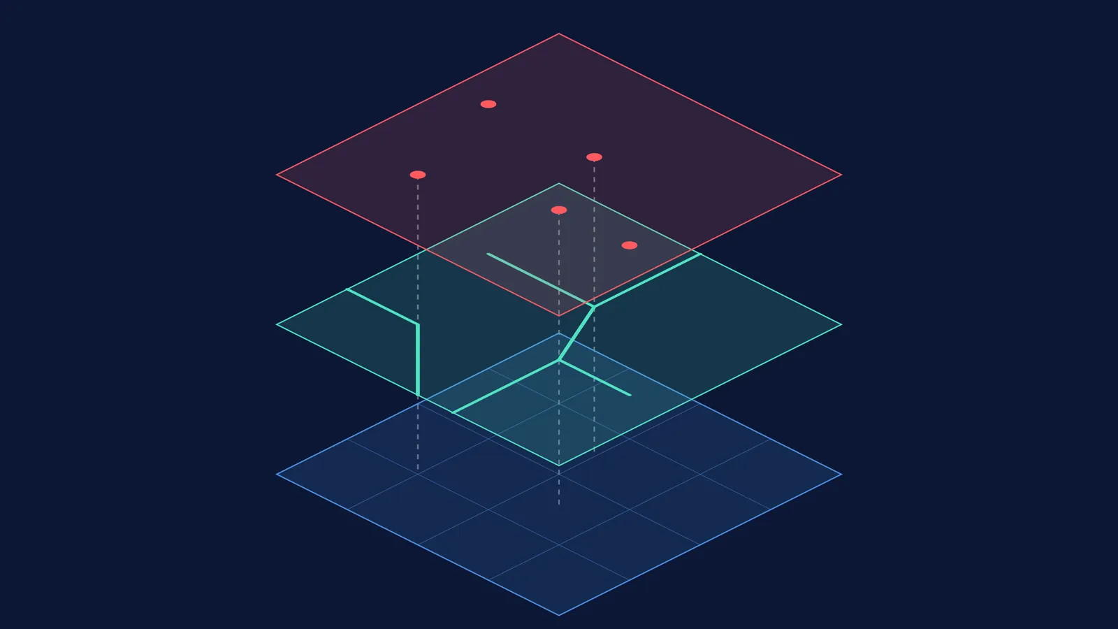
GIS Analysts and Developers: They use software to layer and analyse spatial data. If a city needs to decide where to build a new hospital, a GIS analyst will map population density, existing clinics and road networks to find the optimal spot. The mathematics of coordinate systems is crucial here; for a look at the history behind these models, see the story of Gladys West and the precise Earth model that GPS relies on.
Remote Sensing Scientists: They process images taken by drones, aircraft or satellites. They analyse different wavelengths of light to determine crop health, measure deforestation or detect minerals in the ground.
Beyond urban planning, GIS is essential for disaster management and climate science. During floods or earthquakes, geospatial data allows emergency responders to route resources efficiently and estimate damage in real time. For climate researchers, continuous satellite monitoring tracks glacial melting and ocean temperature changes over decades, turning raw data into actionable insights for governments worldwide.
If you are exploring different pathways with your family, you can read more in our guide to Talking about STEM careers beyond engineering and medicine.
Which GIS courses can science students take?
To become a GIS specialist, you need formal training in the software and the underlying science. Several top institutes, including the Indian Institute of Remote Sensing (IIRS) in Dehradun, the IITs and Anna University, offer specialised degrees.
M.Sc. in Geoinformatics: This is a popular entry point. At institutes like IIRS, students with a B.Sc. (in physical sciences, mathematics, earth sciences or computer science) who have scored at least 55% marks are eligible to apply.
M.Tech in Remote Sensing and GIS: Usually requires an M.Sc. in a relevant science subject or a B.E./B.Tech degree, also with a minimum of 55% marks.
Postgraduate Diplomas (PGD): These are intensive one-year programmes designed to teach practical software skills quickly. They often require the same baseline qualifications as the Master's degrees.
Admission is typically based on an entrance test covering basic science, mathematics, computer fundamentals and reasoning, followed by an interview.
How can you start learning GIS today?
You do not need to wait for a postgraduate programme to start building your skills. Follow this three-step plan during your undergraduate studies:
Master the mathematical foundations. GIS software relies heavily on geometry, trigonometry and matrix algebra to project a 3D Earth onto a 2D screen. If you find coordinate geometry challenging, Fermi's AI tutor can work out what you already know and build a plan for the session, so you sit down to a clear next step.
Learn an open-source tool. Download QGIS, a free and open-source GIS application. You can find free datasets online (like those from the Bhuvan portal) and practice layering satellite imagery with road networks.
Pick up Python. Modern spatial analysis is largely automated. Learning Python will allow you to write scripts that can process thousands of images at once, making you significantly more valuable to employers. If you are stuck on the logic of a programming loop, you can search the Fermi Concept Library for a clear explanation of how it works.
By combining your science background with programming and spatial reasoning, a career in GIS lets you solve complex, visible problems on a global scale.