
On this page
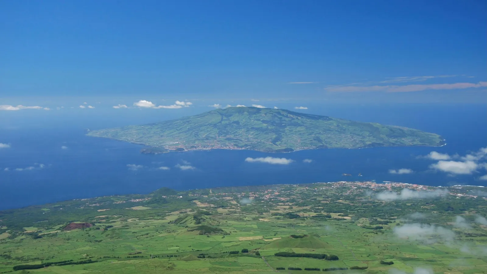
Plate tectonics explains most volcanoes neatly: they sit where plates pull apart or collide. Hawaii breaks the pattern. The US Geological Survey points out that the islands formed in the middle of the Pacific, more than 3,200 km from the nearest plate boundary. J. Tuzo Wilson's answer to that puzzle, the hotspot, is now standard geography. This post covers who he was, what he proposed, a worked example on plate speed, and what you can borrow from how he worked.
Who was J. Tuzo Wilson?
The Royal Society's biographical memoir gives his dates as 24 October 1908 to 15 April 1993, when he died in Toronto in his 85th year. It calls him "one of the most imaginative earth scientists of his time, and the father of academic geophysics in Canada".
The USGS profile, J. Tuzo Wilson: Discovering transforms and hotspots, adds that he studied for his doctorate at Princeton in the late 1930s, where Harry Hess was a young lecturer. He was professor of geophysics at the University of Toronto from 1946 to 1974, then became Director of the Ontario Science Centre. The USGS also notes that he was in his mid-fifties when he made his best-known contributions.
What problem was he trying to solve?
Wilson's paper A possible origin of the Hawaiian Islands (1963) begins by noting that Hawaii is one of seven parallel, linear chains of islands and seamounts in the Pacific. The older explanation was a row of volcanoes along parallel faults. Wilson pointed out where that idea fell short. Instead, he suggested that if convection currents moved the upper part of the mantle faster than its core, a source of lava in the slower part would leave a line of "progressively older volcanic piles". He wrote that this view was compatible with seismic observations and the ages measured so far.
The USGS describes the modern form of his idea in its page on hotspots: a small, long-lasting, unusually hot region below the plate keeps supplying magma. The plate carries each new volcano away from the source, the volcano dies, and a new one grows in its place.
Was the idea accepted?
Not at first. According to the USGS profile, his hotspot manuscript was turned down by the major international journals and appeared in the Canadian Journal of Physics, which the USGS calls a relatively obscure publication. Two years later he published A new class of faults and their bearing on continental drift in Nature, which introduced transform faults, the third type of plate boundary, where plates slide past each other.
The ages fitted his prediction. The USGS hotspot page reports that the oldest volcanic rocks on Kauai, in the north-west, are about 5.5 million years old and deeply eroded, while the oldest exposed rocks on the Big Island, in the south-east, are less than 0.7 million years old. In 1971 W. J. Morgan carried the idea deeper in Convection plumes in the lower mantle.
Worked example: how fast does the Pacific Plate move?
The USGS page on the long trail of the Hawaiian hotspot says the Hawaiian Ridge and Emperor Seamounts run about 6,000 km and were built over the past 70 million years.
Step 1: average speed. 6,000 km = 6 × 10^8 cm. Speed = 6 × 10^8 cm ÷ (7 × 10^7 years) ≈ 8.6 cm per year.
Step 2: what this means for one island. The Big Island's oldest exposed rocks are under 0.7 million years old. At 8.6 cm per year, the plate moves 8.6 × 700,000 = 6,020,000 cm, or about 60 km, in that time. So an island can only grow for a few hundred thousand years before it starts drifting off its magma supply.
Step 3: check the next island. The same USGS page says Loihi, an active submarine volcano, is forming about 35 km off Hawaii's southern coast and has risen to within 1 km of the surface. That fits a hot source that stays put while the plate slides over it.
The 6,000 km trail is not straight: the USGS notes a sharp bend about 43 million years ago, when the plate changed direction. So 8.6 cm per year is a long-term average, not a constant.
What mistakes do students make with hotspots?
Thinking the hotspot moves. In Wilson's picture the plate moves and the source stays (nearly) put. The chain records the plate's motion.
Linking every volcano to a boundary. Hotspot volcanoes can sit thousands of kilometres from any boundary.
Treating the model as settled in every detail. The USGS adds an authors' note that newer studies question whether hotspots are deep and whether they stay fixed. The age pattern is solid; the deep cause is still debated.
Plate movement is part of NCERT's Class 11 geography chapter on the distribution of oceans and continents, and it builds on the evidence in our post on Alfred Wegener and continental drift.
What can a student take from Wilson's way of working?
Wilson took an awkward exception seriously instead of ignoring it, and he turned his idea into a prediction anyone could test: ages should increase in one direction. He also kept going when journals said no. Those habits work in any subject: when one problem refuses to fit your method, ask what would have to be true for it to fit, then check.
If plates, plumes and moving crust are hard to picture from a flat diagram, the Fermi Simulation Lab has interactive simulations for ideas that are easier to see than read.
Try it now: using the USGS figures, work out how far the Pacific Plate has moved since Kauai's oldest rocks formed.